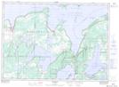
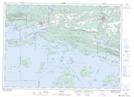
Maps showing Straubenzee Reef, Manitoulin, Ontario
Straubenzee Reef is a Shoal located in Manitoulin, Ontario.
- Latitude: 46° 0' 13'' North (decimal: 46.0036111)
- Longitude: 82° 5' 8'' West (decimal: -82.0855555)
- Topography Feature Category: Shoal
- Geographical Feature: Reef
- Canadian Province/Territory: Ontario
- Location: Manitoulin
- Atlas of Canada Locator Map: Straubenzee Reef
- GPS Coordinate Locator Map: Straubenzee Reef Lat/Long
Straubenzee Reef NTS Map Sheets