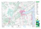
Maps showing Stroud, Simcoe, Ontario
Stroud is a Unincorporated area located in Simcoe, Ontario.
- Latitude: 44° 19' 39'' North (decimal: 44.3274999)
- Longitude: 79° 36' 21'' West (decimal: -79.6058333)
- Topography Feature Category: Unincorporated area
- Geographical Feature: Railway Point
- Canadian Province/Territory: Ontario
- Location: Simcoe
- Atlas of Canada Locator Map: Stroud
- GPS Coordinate Locator Map: Stroud Lat/Long