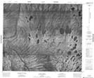
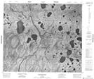
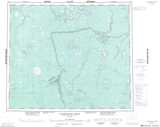
Maps showing Sugar Creek, Kenora, Ontario
Sugar Creek is a River located in Kenora, Ontario.
- Latitude: 54° 49' 22'' North (decimal: 54.8227777)
- Longitude: 87° 47' 22'' West (decimal: -87.7894444)
- Topography Feature Category: River
- Geographical Feature: Creek
- Canadian Province/Territory: Ontario
- Location: Kenora
- Atlas of Canada Locator Map: Sugar Creek
- GPS Coordinate Locator Map: Sugar Creek Lat/Long
Sugar Creek NTS Map Sheets