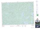
Maps showing Sunfish Creek, Nipissing, Ontario
Sunfish Creek is a River located in Nipissing, Ontario and has an elevation of 409 meters.
- Latitude: 45° 54' 30'' North (decimal: 45.9083333)
- Longitude: 78° 31' 40'' West (decimal: -78.5277777)
- Topography Feature Category: River
- Geographical Feature: Creek
- Canadian Province/Territory: Ontario
- Elevation: 409 meters
- Location: Nipissing
- Atlas of Canada Locator Map: Sunfish Creek
- GPS Coordinate Locator Map: Sunfish Creek Lat/Long
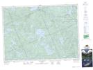
Sunfish Creek NTS Map Sheets