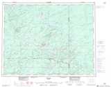
Maps showing Suni, Thunder Bay, Ontario
Suni is a Unincorporated area located in Thunder Bay, Ontario.
- Latitude: 50° 13' 57'' North (decimal: 50.2324999)
- Longitude: 87° 20' 11'' West (decimal: -87.3363888)
- Topography Feature Category: Unincorporated area
- Geographical Feature: Railway Point
- Canadian Province/Territory: Ontario
- Location: Thunder Bay
- Atlas of Canada Locator Map: Suni
- GPS Coordinate Locator Map: Suni Lat/Long