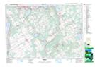
Maps showing Tay, Ontario
Tay is a Unincorporated area located in Ontario.
- Latitude: 44° 44' 6'' North (decimal: 44.7349999)
- Longitude: 79° 50' 00'' West (decimal: -79.8332999)
- Topography Feature Category: Unincorporated area
- Geographical Feature: Railway Point
- Canadian Province/Territory: Ontario
- GPS Coordinate Locator Map: Tay Lat/Long
Tay NTS Map Sheets