Canada Topographic Maps

Tchakashapug River Topo Maps

Topography maps and Latitude/Longitude Location

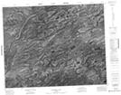
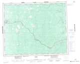
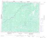
Maps showing Tchakashapug River, Cochrane, Ontario

Tchakashapug River is a River located in Cochrane, Ontario.

  • Latitude: 51° 19' 13'' North   (decimal: 51.3202777)
  • Longitude: 83° 51' 25'' West   (decimal: -83.8569444)
  • Topography Feature Category: River
  • Geographical Feature: River
  • Canadian Province/Territory: Ontario
  • Location: Cochrane
  • Atlas of Canada Locator Map: Tchakashapug River
  • GPS Coordinate Locator Map: Tchakashapug River Lat/Long

Tchakashapug River NTS Map Sheets

042N01 Cochrane Lake Topographic Map at 1:50,000 scale

042O04 Awagakama River Topographic Map at 1:50,000 scale

042O05 Chemahagan River Topographic Map at 1:50,000 scale

042N Ogoki Topographic Map at 1:250,000 scale

042O Ghost River Topographic Map at 1:250,000 scale

 
Buy Topographic Maps DVD
Newsletter Sign-up

Yes, I want to receive map store discounts.


Bookmark and Share