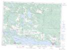
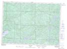
Maps showing Thessalon River, Algoma, Ontario
Thessalon River is a River located in Algoma, Ontario and has an elevation of 215 meters.
- Latitude: 46° 15' 9'' North (decimal: 46.2524999)
- Longitude: 83° 33' 39'' West (decimal: -83.5608333)
- Topography Feature Category: River
- Geographical Feature: River
- Canadian Province/Territory: Ontario
- Elevation: 215 meters
- Location: Algoma
- Atlas of Canada Locator Map: Thessalon River
- GPS Coordinate Locator Map: Thessalon River Lat/Long
Thessalon River NTS Map Sheets