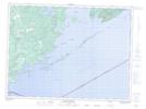
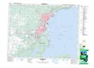
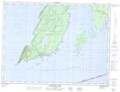
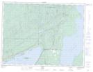
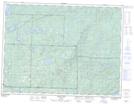
Maps showing Thunder Bay, Thunder Bay, Ontario
Thunder Bay is a Bay located in Thunder Bay, Ontario and has an elevation of 184 meters.
- Latitude: 48° 24' 29'' North (decimal: 48.4080555)
- Longitude: 89° 18' 39'' West (decimal: -89.3108333)
- Topography Feature Category: Bay
- Geographical Feature: Bay
- Canadian Province/Territory: Ontario
- Elevation: 184 meters
- Location: Thunder Bay
- Atlas of Canada Locator Map: Thunder Bay
- GPS Coordinate Locator Map: Thunder Bay Lat/Long
Thunder Bay NTS Map Sheets
052A03 Jarvis River Topographic Map at 1:50,000 scale
052A06 Thunder Bay Topographic Map at 1:50,000 scale
052A07 Thunder Cape Topographic Map at 1:50,000 scale
052A10 Loon Topographic Map at 1:50,000 scale
052A11 Onion Lake Topographic Map at 1:50,000 scale
052A Thunder Bay Topographic Map at 1:250,000 scale
052A06 Thunder Bay Topographic Map at 1:50,000 scale
052A07 Thunder Cape Topographic Map at 1:50,000 scale
052A10 Loon Topographic Map at 1:50,000 scale
052A11 Onion Lake Topographic Map at 1:50,000 scale
052A Thunder Bay Topographic Map at 1:250,000 scale