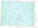
Maps showing Tophet, Sudbury, Ontario
Tophet is a Unincorporated area located in Sudbury, Ontario.
- Latitude: 47° 40' 48'' North (decimal: 47.6799999)
- Longitude: 83° 6' 31'' West (decimal: -83.1086111)
- Topography Feature Category: Unincorporated area
- Geographical Feature: Railway Point
- Canadian Province/Territory: Ontario
- Location: Sudbury
- Atlas of Canada Locator Map: Tophet
- GPS Coordinate Locator Map: Tophet Lat/Long