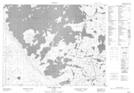
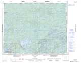
Maps showing Troutlake River, Kenora, Ontario
Troutlake River is a River located in Kenora, Ontario and has an elevation of 349 meters.
- Latitude: 50° 49' 2'' North (decimal: 50.8172222)
- Longitude: 93° 25' 48'' West (decimal: -93.4300000)
- Topography Feature Category: River
- Geographical Feature: River
- Canadian Province/Territory: Ontario
- Elevation: 349 meters
- Location: Kenora
- Atlas of Canada Locator Map: Troutlake River
- GPS Coordinate Locator Map: Troutlake River Lat/Long
Troutlake River NTS Map Sheets