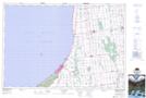
Maps showing Tuckersmith, Huron, Ontario
Tuckersmith is a Geographical area located in Huron, Ontario.
- Latitude: 43° 30' 27'' North (decimal: 43.5074999)
- Longitude: 81° 27' 3'' West (decimal: -81.4508333)
- Topography Feature Category: Geographical area
- Geographical Feature: Geographic Township
- Canadian Province/Territory: Ontario
- Location: Huron
- Atlas of Canada Locator Map: Tuckersmith
- GPS Coordinate Locator Map: Tuckersmith Lat/Long
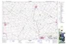
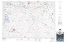
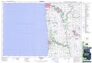
Tuckersmith NTS Map Sheets