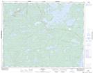
Maps showing Upper Medicine Stone Lake, Kenora, Ontario
Upper Medicine Stone Lake is a Lake located in Kenora, Ontario and has an elevation of 391 meters.
- Latitude: 50° 53' 44'' North (decimal: 50.8955555)
- Longitude: 94° 3' 35'' West (decimal: -94.0597222)
- Topography Feature Category: Lake
- Geographical Feature: Lake
- Canadian Province/Territory: Ontario
- Elevation: 391 meters
- Location: Kenora
- Atlas of Canada Locator Map: Upper Medicine Stone Lake
- GPS Coordinate Locator Map: Upper Medicine Stone Lake Lat/Long
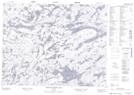
Upper Medicine Stone Lake NTS Map Sheets