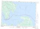
Maps showing Wallace Island, Ontario
Wallace Island is a Island located in Ontario.
- Latitude: 46° 9' 10'' North (decimal: 46.1527999)
- Longitude: 83° 47' 33'' West (decimal: -83.7924999)
- Topography Feature Category: Island
- Geographical Feature: Island
- Canadian Province/Territory: Ontario
- GPS Coordinate Locator Map: Wallace Island Lat/Long
Wallace Island NTS Map Sheets