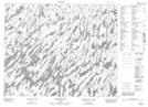
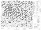
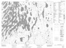
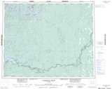
Maps showing Wapitotem River, Kenora, Ontario
Wapitotem River is a River located in Kenora, Ontario and has an elevation of 208 meters.
- Latitude: 52° 47' 17'' North (decimal: 52.7880555)
- Longitude: 87° 28' 54'' West (decimal: -87.4816666)
- Topography Feature Category: River
- Geographical Feature: River
- Canadian Province/Territory: Ontario
- Elevation: 208 meters
- Location: Kenora
- Atlas of Canada Locator Map: Wapitotem River
- GPS Coordinate Locator Map: Wapitotem River Lat/Long
Wapitotem River NTS Map Sheets