Maps showing Waterloo, Waterloo, Ontario
Waterloo is a Major municipal/district area - major agglomeration located in Waterloo, Ontario.
- Latitude: 43° 29' 35'' North (decimal: 43.4930555)
- Longitude: 80° 30' 4'' West (decimal: -80.5011111)
- Topography Feature Category: Major municipal/district area - major agglomeration
- Geographical Feature: Regional Municipality
- Canadian Province/Territory: Ontario
- Location: Waterloo
- Atlas of Canada Locator Map: Waterloo
- GPS Coordinate Locator Map: Waterloo Lat/Long
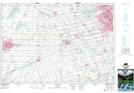
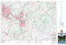
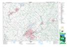
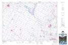
Waterloo NTS Map Sheets