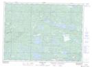
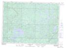
Maps showing West Little White River, Algoma, Ontario
West Little White River is a River located in Algoma, Ontario and has an elevation of 358 meters.
- Latitude: 46° 33' 45'' North (decimal: 46.5624999)
- Longitude: 83° 2' 31'' West (decimal: -83.0419444)
- Topography Feature Category: River
- Geographical Feature: River
- Canadian Province/Territory: Ontario
- Elevation: 358 meters
- Location: Algoma
- Atlas of Canada Locator Map: West Little White River
- GPS Coordinate Locator Map: West Little White River Lat/Long
West Little White River NTS Map Sheets