Canada Topographic Maps

Witegoo River Topo Maps

Topography maps and Latitude/Longitude Location

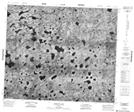
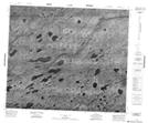
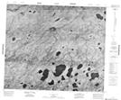
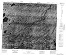
Maps showing Witegoo River, Kenora, Ontario

Witegoo River is a River located in Kenora, Ontario.

  • Latitude: 54° 32' 33'' North   (decimal: 54.5425000)
  • Longitude: 89° 7' 45'' West   (decimal: -89.1291666)
  • Topography Feature Category: River
  • Geographical Feature: River
  • Canadian Province/Territory: Ontario
  • Location: Kenora
  • Atlas of Canada Locator Map: Witegoo River
  • GPS Coordinate Locator Map: Witegoo River Lat/Long

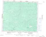
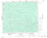
Witegoo River NTS Map Sheets

053I04 Witegoo Lake Topographic Map at 1:50,000 scale

053I05 No Title Topographic Map at 1:50,000 scale

053I06 No Title Topographic Map at 1:50,000 scale

053I11 No Title Topographic Map at 1:50,000 scale

053J01 Pukatawagan Lakes Topographic Map at 1:50,000 scale

053I Fawn River Topographic Map at 1:250,000 scale

053J Thorne River Topographic Map at 1:250,000 scale

 
Buy Topographic Maps DVD
Newsletter Sign-up

Yes, I want to receive map store discounts.


Bookmark and Share