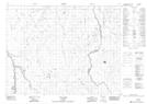
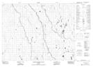
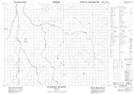
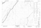
Maps showing Yapewatik Ridge, Cochrane, Ontario
Yapewatik Ridge is a Mountain located in Cochrane, Ontario and has an elevation of 120 meters.
- Latitude: 50° 31' 41'' North (decimal: 50.5280555)
- Longitude: 80° 59' 43'' West (decimal: -80.9952777)
- Topography Feature Category: Mountain
- Geographical Feature: Ridge
- Canadian Province/Territory: Ontario
- Elevation: 120 meters
- Location: Cochrane
- Atlas of Canada Locator Map: Yapewatik Ridge
- GPS Coordinate Locator Map: Yapewatik Ridge Lat/Long
Yapewatik Ridge NTS Map Sheets