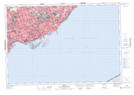
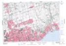
Maps showing York Mills, York, Ontario
York Mills is a Unincorporated area located in York, Ontario and has an elevation of 161 meters.
- Latitude: 43° 45' 21'' North (decimal: 43.7558333)
- Longitude: 79° 23' 10'' West (decimal: -79.3861111)
- Topography Feature Category: Unincorporated area
- Geographical Feature: Urban Community
- Canadian Province/Territory: Ontario
- Elevation: 161 meters
- Location: York
- Atlas of Canada Locator Map: York Mills
- GPS Coordinate Locator Map: York Mills Lat/Long
York Mills NTS Map Sheets