Canada Topographic Maps

Yorston River Topo Maps

Topography maps and Latitude/Longitude Location

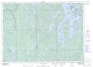
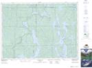
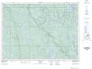
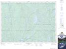
Maps showing Yorston River, Sudbury, Ontario

Yorston River is a River located in Sudbury, Ontario and has an elevation of 304 meters.

  • Latitude: 46° 58' 16'' North   (decimal: 46.9711111)
  • Longitude: 80° 27' 44'' West   (decimal: -80.4622222)
  • Topography Feature Category: River
  • Geographical Feature: River
  • Canadian Province/Territory: Ontario
  • Elevation: 304 meters
  • Location: Sudbury
  • Atlas of Canada Locator Map: Yorston River
  • GPS Coordinate Locator Map: Yorston River Lat/Long

Yorston River NTS Map Sheets

041I16 Lake Temagami Topographic Map at 1:50,000 scale

041P01 Obabika Lake Topographic Map at 1:50,000 scale

041P02 Pilgrim Creek Topographic Map at 1:50,000 scale

041P07 Smoothwater Lake Topographic Map at 1:50,000 scale

041I Sudbury Topographic Map at 1:250,000 scale

041P Gogama Topographic Map at 1:250,000 scale

 
Buy Topographic Maps DVD
Newsletter Sign-up

Yes, I want to receive map store discounts.


Bookmark and Share