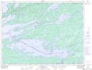
Maps showing Cedars Rock, Ontario
Cedars Rock is a Shoal located in Ontario.
- Latitude: 48° 42' North (decimal: 48.6999999)
- Longitude: 92° 34' West (decimal: -92.5667000)
- Topography Feature Category: Shoal
- Geographical Feature: Rock
- Canadian Province/Territory: Ontario
- GPS Coordinate Locator Map: Cedars Rock Lat/Long
Cedars Rock NTS Map Sheets