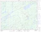
Maps showing Charon Pass, Thunder Bay, Ontario
Charon Pass is a Road feature located in Thunder Bay, Ontario.
- Latitude: 49° 41' North (decimal: 49.6833000)
- Longitude: 86° 4' West (decimal: -86.0667000)
- Topography Feature Category: Road feature
- Geographical Feature: Portage
- Canadian Province/Territory: Ontario
- Location: Thunder Bay
- GPS Coordinate Locator Map: Charon Pass Lat/Long
Charon Pass NTS Map Sheets