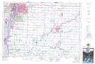
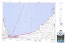
Maps showing Bonnie Doon Creek, Lambton, Ontario
Bonnie Doon Creek is a River located in Lambton, Ontario and has an elevation of 207 meters.
- Latitude: 43° 3' 51'' North (decimal: 43.0641666)
- Longitude: 82° 9' 47'' West (decimal: -82.1630555)
- Topography Feature Category: River
- Geographical Feature: River
- Canadian Province/Territory: Ontario
- Elevation: 207 meters
- Location: Lambton
- Atlas of Canada Locator Map: Bonnie Doon Creek
- GPS Coordinate Locator Map: Bonnie Doon Creek Lat/Long
Bonnie Doon Creek NTS Map Sheets


040O Map Not Available Topographic Map at 1:250,000 scale
