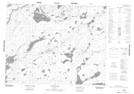
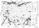
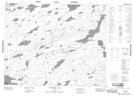
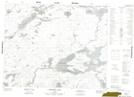
Maps showing Petawanga Lake, Thunder Bay; Kenora, Ontario
Petawanga Lake is a Lake located in Thunder Bay; Kenora, Ontario and has an elevation of 269 meters.
- Latitude: 51° 29' 13'' North (decimal: 51.4869444)
- Longitude: 88° 19' 45'' West (decimal: -88.3291666)
- Topography Feature Category: Lake
- Geographical Feature: Lake
- Canadian Province/Territory: Ontario
- Elevation: 269 meters
- Location: Thunder Bay; Kenora
- Atlas of Canada Locator Map: Petawanga Lake
- GPS Coordinate Locator Map: Petawanga Lake Lat/Long
Petawanga Lake NTS Map Sheets