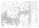
Maps showing Pine Point, Kenora, Ontario
Pine Point is a Cape located in Kenora, Ontario.
- Latitude: 50° 21' 38'' North (decimal: 50.3605555)
- Longitude: 92° 10' 46'' West (decimal: -92.1794444)
- Topography Feature Category: Cape
- Geographical Feature: Point
- Canadian Province/Territory: Ontario
- Location: Kenora
- Atlas of Canada Locator Map: Pine Point
- GPS Coordinate Locator Map: Pine Point Lat/Long