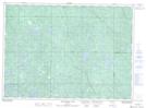
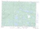
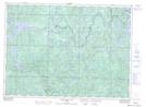
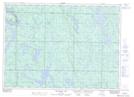
Maps showing Boland River, Algoma, Ontario
Boland River is a River located in Algoma, Ontario and has an elevation of 506 meters.
- Latitude: 46° 35' 23'' North (decimal: 46.5897222)
- Longitude: 82° 54' 26'' West (decimal: -82.9072222)
- Topography Feature Category: River
- Geographical Feature: River
- Canadian Province/Territory: Ontario
- Elevation: 506 meters
- Location: Algoma
- Atlas of Canada Locator Map: Boland River
- GPS Coordinate Locator Map: Boland River Lat/Long
Boland River NTS Map Sheets