Canada Topographic Maps

North Washagami River Topo Maps

Topography maps and Latitude/Longitude Location

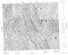
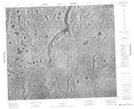
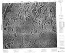
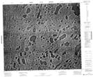
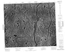
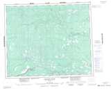
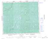
Maps showing North Washagami River, Kenora, Ontario

North Washagami River is a River located in Kenora, Ontario.

  • Latitude: 53° 47' 56'' North   (decimal: 53.7988888)
  • Longitude: 84° 58' 31'' West   (decimal: -84.9752777)
  • Topography Feature Category: River
  • Geographical Feature: River
  • Canadian Province/Territory: Ontario
  • Location: Kenora
  • Atlas of Canada Locator Map: North Washagami River
  • GPS Coordinate Locator Map: North Washagami River Lat/Long

North Washagami River NTS Map Sheets

043F15 No Title Topographic Map at 1:50,000 scale

043K02 No Title Topographic Map at 1:50,000 scale

043K03 No Title Topographic Map at 1:50,000 scale

043K06 No Title Topographic Map at 1:50,000 scale

043K07 Sutton Narrows Topographic Map at 1:50,000 scale

043F Matateto River Topographic Map at 1:250,000 scale

043K Sutton Lake Topographic Map at 1:250,000 scale

 
Buy Topographic Maps DVD
Newsletter Sign-up

Yes, I want to receive map store discounts.


Bookmark and Share