Canada Topographic Maps

Otadaonanis River Topo Maps

Topography maps and Latitude/Longitude Location

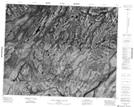
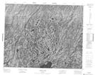
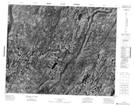
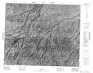
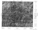
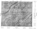
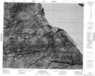
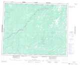
Maps showing Otadaonanis River, Kenora, Ontario

Otadaonanis River is a River located in Kenora, Ontario.

  • Latitude: 52° 45' 50'' North   (decimal: 52.7638888)
  • Longitude: 82° 4' 35'' West   (decimal: -82.0763888)
  • Topography Feature Category: River
  • Geographical Feature: River
  • Canadian Province/Territory: Ontario
  • Location: Kenora
  • Atlas of Canada Locator Map: Otadaonanis River
  • GPS Coordinate Locator Map: Otadaonanis River Lat/Long

Otadaonanis River NTS Map Sheets

042O14 Sand Cherry Island Topographic Map at 1:50,000 scale

043B02 Kidney Lakes Topographic Map at 1:50,000 scale

043B03 No Title Topographic Map at 1:50,000 scale

043B07 No Title Topographic Map at 1:50,000 scale

043B08 Crotin Lake Topographic Map at 1:50,000 scale

043B09 Cudmore Creek Topographic Map at 1:50,000 scale

043B16 Attawapiskat Topographic Map at 1:50,000 scale

042O Ghost River Topographic Map at 1:250,000 scale

043B Kapiskau River Topographic Map at 1:250,000 scale

 
Buy Topographic Maps DVD
Newsletter Sign-up

Yes, I want to receive map store discounts.


Bookmark and Share