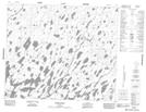
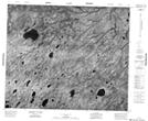
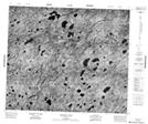
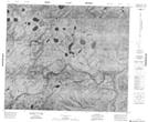
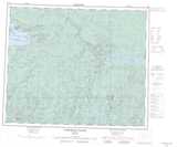
Maps showing Otter River, Kenora, Ontario
Otter River is a River located in Kenora, Ontario.
- Latitude: 54° 20' 27'' North (decimal: 54.3408333)
- Longitude: 88° 32' 58'' West (decimal: -88.5494444)
- Topography Feature Category: River
- Geographical Feature: River
- Canadian Province/Territory: Ontario
- Location: Kenora
- Atlas of Canada Locator Map: Otter River
- GPS Coordinate Locator Map: Otter River Lat/Long
Otter River NTS Map Sheets
053H14 Otter River Topographic Map at 1:50,000 scale
053I02 No Title Topographic Map at 1:50,000 scale
053I03 Crandall Falls Topographic Map at 1:50,000 scale
053I07 No Title Topographic Map at 1:50,000 scale
053H Asheweig River Topographic Map at 1:250,000 scale
053I Fawn River Topographic Map at 1:250,000 scale
053I02 No Title Topographic Map at 1:50,000 scale
053I03 Crandall Falls Topographic Map at 1:50,000 scale
053I07 No Title Topographic Map at 1:50,000 scale
053H Asheweig River Topographic Map at 1:250,000 scale
053I Fawn River Topographic Map at 1:250,000 scale