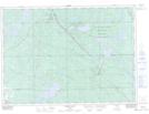
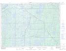
Maps showing Ottertail Creek, Nipissing, Ontario
Ottertail Creek is a River located in Nipissing, Ontario and has an elevation of 302 meters.
- Latitude: 46° 53' 00'' North (decimal: 46.8833333)
- Longitude: 79° 16' 13'' West (decimal: -79.2702777)
- Topography Feature Category: River
- Geographical Feature: Creek
- Canadian Province/Territory: Ontario
- Elevation: 302 meters
- Location: Nipissing
- Atlas of Canada Locator Map: Ottertail Creek
- GPS Coordinate Locator Map: Ottertail Creek Lat/Long
Ottertail Creek NTS Map Sheets