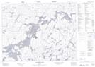
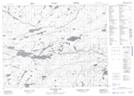
Maps showing Newt Creek, Kenora, Ontario
Newt Creek is a River located in Kenora, Ontario and has an elevation of 405 meters.
- Latitude: 50° 44' 42'' North (decimal: 50.7450000)
- Longitude: 91° 56' 46'' West (decimal: -91.9461111)
- Topography Feature Category: River
- Geographical Feature: Creek
- Canadian Province/Territory: Ontario
- Elevation: 405 meters
- Location: Kenora
- Atlas of Canada Locator Map: Newt Creek
- GPS Coordinate Locator Map: Newt Creek Lat/Long
Newt Creek NTS Map Sheets