Canada Topographic Maps

McIlveen Topo Maps

Topography maps and Latitude/Longitude Location

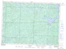
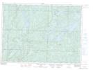
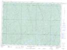
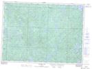
Maps showing McIlveen, Algoma, Ontario

McIlveen is a Geographical area located in Algoma, Ontario.

  • Latitude: 47° 1' 3'' North   (decimal: 47.0174999)
  • Longitude: 83° 31' 39'' West   (decimal: -83.5274999)
  • Topography Feature Category: Geographical area
  • Geographical Feature: Geographic Township
  • Canadian Province/Territory: Ontario
  • Location: Algoma
  • Atlas of Canada Locator Map: McIlveen
  • GPS Coordinate Locator Map: McIlveen Lat/Long

McIlveen NTS Map Sheets

041J13 Ranger Lake Topographic Map at 1:50,000 scale

041J14 Rocky Island Lake Topographic Map at 1:50,000 scale

041O03 Mountain Ash Lake Topographic Map at 1:50,000 scale

041O04 Welcome Lake Topographic Map at 1:50,000 scale

041J Blind River Topographic Map at 1:250,000 scale

041O Chapleau Topographic Map at 1:250,000 scale

 
Buy Topographic Maps DVD
Newsletter Sign-up

Yes, I want to receive map store discounts.


Bookmark and Share