Canada Topographic Maps

Oshell Topo Maps

Topography maps and Latitude/Longitude Location

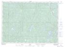
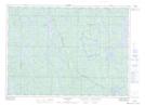
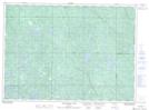
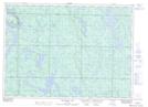
Maps showing Oshell, Algoma, Ontario

Oshell is a Geographical area located in Algoma, Ontario.

  • Latitude: 46° 46' 14'' North   (decimal: 46.7705555)
  • Longitude: 82° 0' 11'' West   (decimal: -82.0030555)
  • Topography Feature Category: Geographical area
  • Geographical Feature: Geographic Township
  • Canadian Province/Territory: Ontario
  • Location: Algoma
  • Atlas of Canada Locator Map: Oshell
  • GPS Coordinate Locator Map: Oshell Lat/Long

Oshell NTS Map Sheets

041I12 Cartier Topographic Map at 1:50,000 scale

041I13 Pogamasing Topographic Map at 1:50,000 scale

041J09 Madawanson Lake Topographic Map at 1:50,000 scale

041J16 Mozhabong Lake Topographic Map at 1:50,000 scale

041I Sudbury Topographic Map at 1:250,000 scale

041J Blind River Topographic Map at 1:250,000 scale

 
Buy Topographic Maps DVD
Newsletter Sign-up

Yes, I want to receive map store discounts.


Bookmark and Share