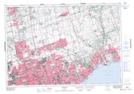
Maps showing Major Creek, Ontario, Ontario
Major Creek is a River located in Ontario, Ontario and has an elevation of 195 meters.
- Latitude: 43° 54' 11'' North (decimal: 43.9030555)
- Longitude: 79° 11' 12'' West (decimal: -79.1866666)
- Topography Feature Category: River
- Geographical Feature: Creek
- Canadian Province/Territory: Ontario
- Elevation: 195 meters
- Location: Ontario
- Atlas of Canada Locator Map: Major Creek
- GPS Coordinate Locator Map: Major Creek Lat/Long