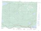
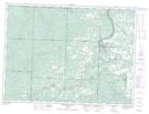
Maps showing The Palisades, Thunder Bay, Ontario
The Palisades is a Mountain located in Thunder Bay, Ontario and has an elevation of 431 meters.
- Latitude: 48° 15' 00'' North (decimal: 48.2499999)
- Longitude: 89° 46' 29'' West (decimal: -89.7747222)
- Topography Feature Category: Mountain
- Geographical Feature: Mountain
- Canadian Province/Territory: Ontario
- Elevation: 431 meters
- Location: Thunder Bay
- Atlas of Canada Locator Map: The Palisades
- GPS Coordinate Locator Map: The Palisades Lat/Long
The Palisades NTS Map Sheets