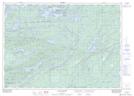
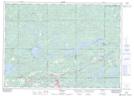
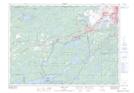
Maps showing Lake Panache, Sudbury, Ontario
Lake Panache is a Lake located in Sudbury, Ontario and has an elevation of 238 meters.
- Latitude: 46° 15' 23'' North (decimal: 46.2563888)
- Longitude: 81° 19' 40'' West (decimal: -81.3277777)
- Topography Feature Category: Lake
- Geographical Feature: Lake
- Canadian Province/Territory: Ontario
- Elevation: 238 meters
- Location: Sudbury
- Atlas of Canada Locator Map: Lake Panache
- GPS Coordinate Locator Map: Lake Panache Lat/Long
Lake Panache NTS Map Sheets