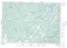
Maps showing Pine Island, Frontenac, Ontario
Pine Island is a Island located in Frontenac, Ontario and has an elevation of 170 meters.
- Latitude: 44° 42' 53'' North (decimal: 44.7147222)
- Longitude: 76° 33' 32'' West (decimal: -76.5588888)
- Topography Feature Category: Island
- Geographical Feature: Island
- Canadian Province/Territory: Ontario
- Elevation: 170 meters
- Location: Frontenac
- Atlas of Canada Locator Map: Pine Island
- GPS Coordinate Locator Map: Pine Island Lat/Long