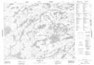
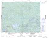
Maps showing St. Roy Creek, Kenora, Ontario
St. Roy Creek is a River located in Kenora, Ontario and has an elevation of 402 meters.
- Latitude: 51° 9' 44'' North (decimal: 51.1622222)
- Longitude: 92° 17' 37'' West (decimal: -92.2936111)
- Topography Feature Category: River
- Geographical Feature: Creek
- Canadian Province/Territory: Ontario
- Elevation: 402 meters
- Location: Kenora
- Atlas of Canada Locator Map: St. Roy Creek
- GPS Coordinate Locator Map: St. Roy Creek Lat/Long
St. Roy Creek NTS Map Sheets