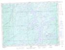
Maps showing Leguerrier, Algoma, Ontario
Leguerrier is a Geographical area located in Algoma, Ontario.
- Latitude: 48° 24' 34'' North (decimal: 48.4094444)
- Longitude: 84° 20' 15'' West (decimal: -84.3375000)
- Topography Feature Category: Geographical area
- Geographical Feature: Geographic Township
- Canadian Province/Territory: Ontario
- Location: Algoma
- Atlas of Canada Locator Map: Leguerrier
- GPS Coordinate Locator Map: Leguerrier Lat/Long