Canada Topographic Maps

Ministik Creek Topo Maps

Topography maps and Latitude/Longitude Location

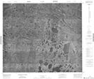
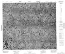
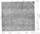
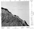
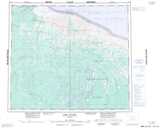
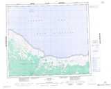
Maps showing Ministik Creek, Kenora, Ontario

Ministik Creek is a River located in Kenora, Ontario.

  • Latitude: 55° 37' 38'' North   (decimal: 55.6272222)
  • Longitude: 85° 51' 49'' West   (decimal: -85.8636111)
  • Topography Feature Category: River
  • Geographical Feature: Creek
  • Canadian Province/Territory: Ontario
  • Location: Kenora
  • Atlas of Canada Locator Map: Ministik Creek
  • GPS Coordinate Locator Map: Ministik Creek Lat/Long

Ministik Creek NTS Map Sheets

043M07 No Title Topographic Map at 1:50,000 scale

043M08 No Title Topographic Map at 1:50,000 scale

043N05 No Title Topographic Map at 1:50,000 scale

043N12 No Title Topographic Map at 1:50,000 scale

043M Fort Severn Topographic Map at 1:250,000 scale

043N Winisk Topographic Map at 1:250,000 scale

 
Buy Topographic Maps DVD
Newsletter Sign-up

Yes, I want to receive map store discounts.


Bookmark and Share