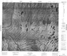
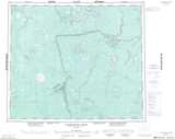
Maps showing Mink Creek, Kenora, Ontario
Mink Creek is a River located in Kenora, Ontario.
- Latitude: 54° 40' 9'' North (decimal: 54.6691666)
- Longitude: 87° 55' 6'' West (decimal: -87.9183333)
- Topography Feature Category: River
- Geographical Feature: Creek
- Canadian Province/Territory: Ontario
- Location: Kenora
- Atlas of Canada Locator Map: Mink Creek
- GPS Coordinate Locator Map: Mink Creek Lat/Long
Mink Creek NTS Map Sheets