Maps showing Montreal River, Timiskaming, Ontario
Montreal River is a River located in Timiskaming, Ontario and has an elevation of 242 meters.
- Latitude: 47° 8' 20'' North (decimal: 47.1388999)
- Longitude: 79° 27' 15'' West (decimal: -79.4541999)
- Topography Feature Category: River
- Geographical Feature: River
- Canadian Province/Territory: Ontario
- Elevation: 242 meters
- Location: Timiskaming
- Atlas of Canada Locator Map: Montreal River
- GPS Coordinate Locator Map: Montreal River Lat/Long
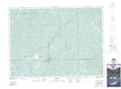
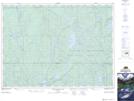
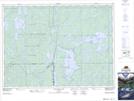
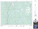
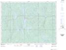
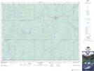
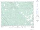
Montreal River NTS Map Sheets
031M03 Fabre Topographic Map at 1:50,000 scale
031M04 Temagami Topographic Map at 1:50,000 scale
031M05 Cobalt Topographic Map at 1:50,000 scale
041P07 Smoothwater Lake Topographic Map at 1:50,000 scale
041P08 Lady Evelyn Lake Topographic Map at 1:50,000 scale
041P09 Elk Lake Topographic Map at 1:50,000 scale
041P10 Gowganda Topographic Map at 1:50,000 scale
041P15 Matachewan Topographic Map at 1:50,000 scale
041P16 Charlton Topographic Map at 1:50,000 scale
031M Ville-Marie Topographic Map at 1:250,000 scale
041P Gogama Topographic Map at 1:250,000 scale