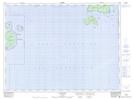
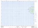
Maps showing Mortimer Island, Thunder Bay, Ontario
Mortimer Island is a Island located in Thunder Bay, Ontario and has an elevation of 203 meters.
- Latitude: 48° 41' 7'' North (decimal: 48.6852777)
- Longitude: 87° 1' 55'' West (decimal: -87.0319444)
- Topography Feature Category: Island
- Geographical Feature: Island
- Canadian Province/Territory: Ontario
- Elevation: 203 meters
- Location: Thunder Bay
- Atlas of Canada Locator Map: Mortimer Island
- GPS Coordinate Locator Map: Mortimer Island Lat/Long
Mortimer Island NTS Map Sheets