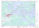
Maps showing Seibert, Rainy River, Ontario
Seibert is a Unincorporated area located in Rainy River, Ontario.
- Latitude: 48° 38' 47'' North (decimal: 48.6463888)
- Longitude: 93° 18' 3'' West (decimal: -93.3008333)
- Topography Feature Category: Unincorporated area
- Geographical Feature: Railway Point
- Canadian Province/Territory: Ontario
- Location: Rainy River
- Atlas of Canada Locator Map: Seibert
- GPS Coordinate Locator Map: Seibert Lat/Long
Seibert NTS Map Sheets