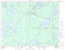
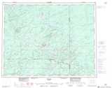
Maps showing Shamokan Creek, Thunder Bay, Ontario
Shamokan Creek is a River located in Thunder Bay, Ontario and has an elevation of 321 meters.
- Latitude: 50° 8' 52'' North (decimal: 50.1477777)
- Longitude: 86° 37' 12'' West (decimal: -86.6200000)
- Topography Feature Category: River
- Geographical Feature: Creek
- Canadian Province/Territory: Ontario
- Elevation: 321 meters
- Location: Thunder Bay
- Atlas of Canada Locator Map: Shamokan Creek
- GPS Coordinate Locator Map: Shamokan Creek Lat/Long