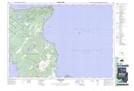
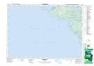
Maps showing St. Edmunds, Bruce, Ontario
St. Edmunds is a Geographical area located in Bruce, Ontario.
- Latitude: 45° 12' 20'' North (decimal: 45.2055555)
- Longitude: 81° 31' 36'' West (decimal: -81.5266666)
- Topography Feature Category: Geographical area
- Geographical Feature: Geographic Township
- Canadian Province/Territory: Ontario
- Location: Bruce
- Atlas of Canada Locator Map: St. Edmunds
- GPS Coordinate Locator Map: St. Edmunds Lat/Long
St. Edmunds NTS Map Sheets