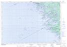
Maps showing Shawanaga Island, Muskoka, Ontario
Shawanaga Island is a Island located in Muskoka, Ontario.
- Latitude: 45° 3' North (decimal: 45.0499999)
- Longitude: 80° 1' West (decimal: -80.0167000)
- Topography Feature Category: Island
- Geographical Feature: Island
- Canadian Province/Territory: Ontario
- Location: Muskoka
- GPS Coordinate Locator Map: Shawanaga Island Lat/Long
Shawanaga Island NTS Map Sheets