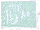
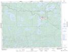
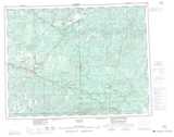
Maps showing Owl Creek, Kenora, Ontario
Owl Creek is a River located in Kenora, Ontario and has an elevation of 449 meters.
- Latitude: 49° 13' 26'' North (decimal: 49.2238888)
- Longitude: 91° 41' 59'' West (decimal: -91.6997222)
- Topography Feature Category: River
- Geographical Feature: Creek
- Canadian Province/Territory: Ontario
- Elevation: 449 meters
- Location: Kenora
- Atlas of Canada Locator Map: Owl Creek
- GPS Coordinate Locator Map: Owl Creek Lat/Long
Owl Creek NTS Map Sheets