Canada Topographic Maps

Red Lake Topo Maps

Topography maps and Latitude/Longitude Location

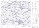
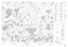
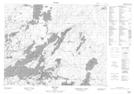
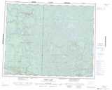
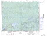
Maps showing Red Lake, Kenora, Ontario

Red Lake is a Lake located in Kenora, Ontario and has an elevation of 357 meters.

  • Latitude: 51° 2' 34'' North   (decimal: 51.0427777)
  • Longitude: 93° 56' 55'' West   (decimal: -93.9486111)
  • Topography Feature Category: Lake
  • Geographical Feature: Lake
  • Canadian Province/Territory: Ontario
  • Elevation: 357 meters
  • Location: Kenora
  • Atlas of Canada Locator Map: Red Lake
  • GPS Coordinate Locator Map: Red Lake Lat/Long

Red Lake NTS Map Sheets

052L16 Medicine Stone Lake Topographic Map at 1:50,000 scale

052M01 Pipestone Bay Topographic Map at 1:50,000 scale

052N04 Red Lake Topographic Map at 1:50,000 scale

052L Pointe Du Bois Topographic Map at 1:250,000 scale

052M Carroll Lake Topographic Map at 1:250,000 scale

052N Trout Lake Topographic Map at 1:250,000 scale

 
Buy Topographic Maps DVD
Newsletter Sign-up

Yes, I want to receive map store discounts.


Bookmark and Share